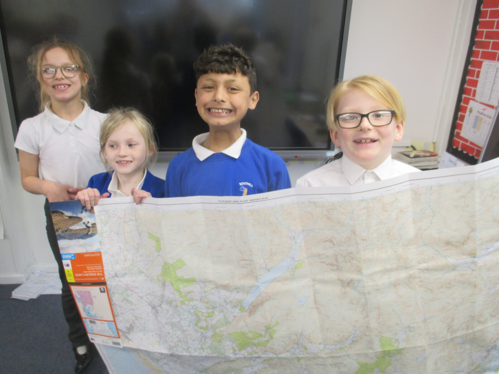


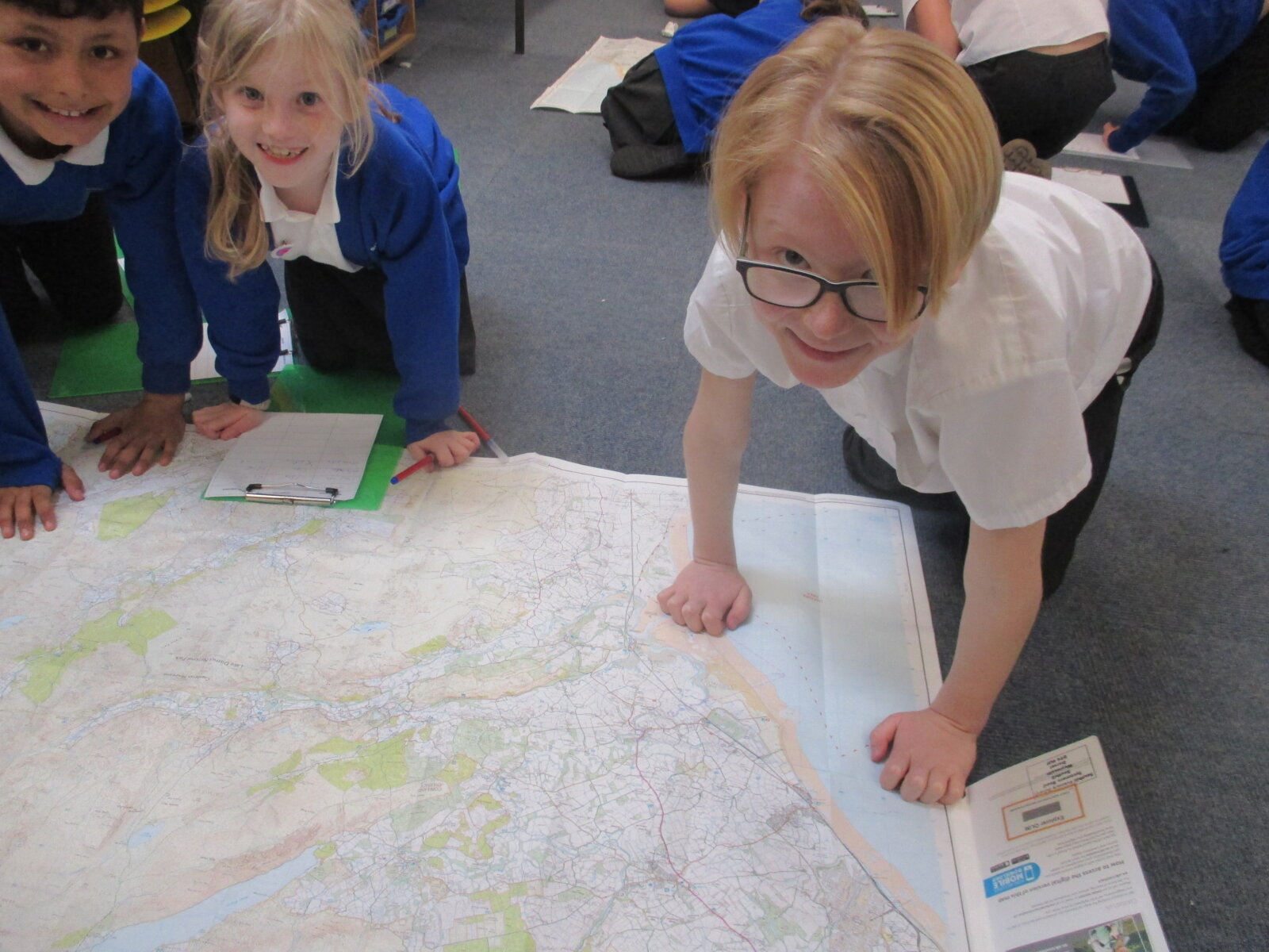
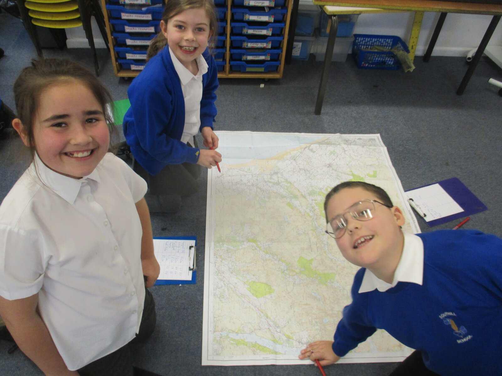
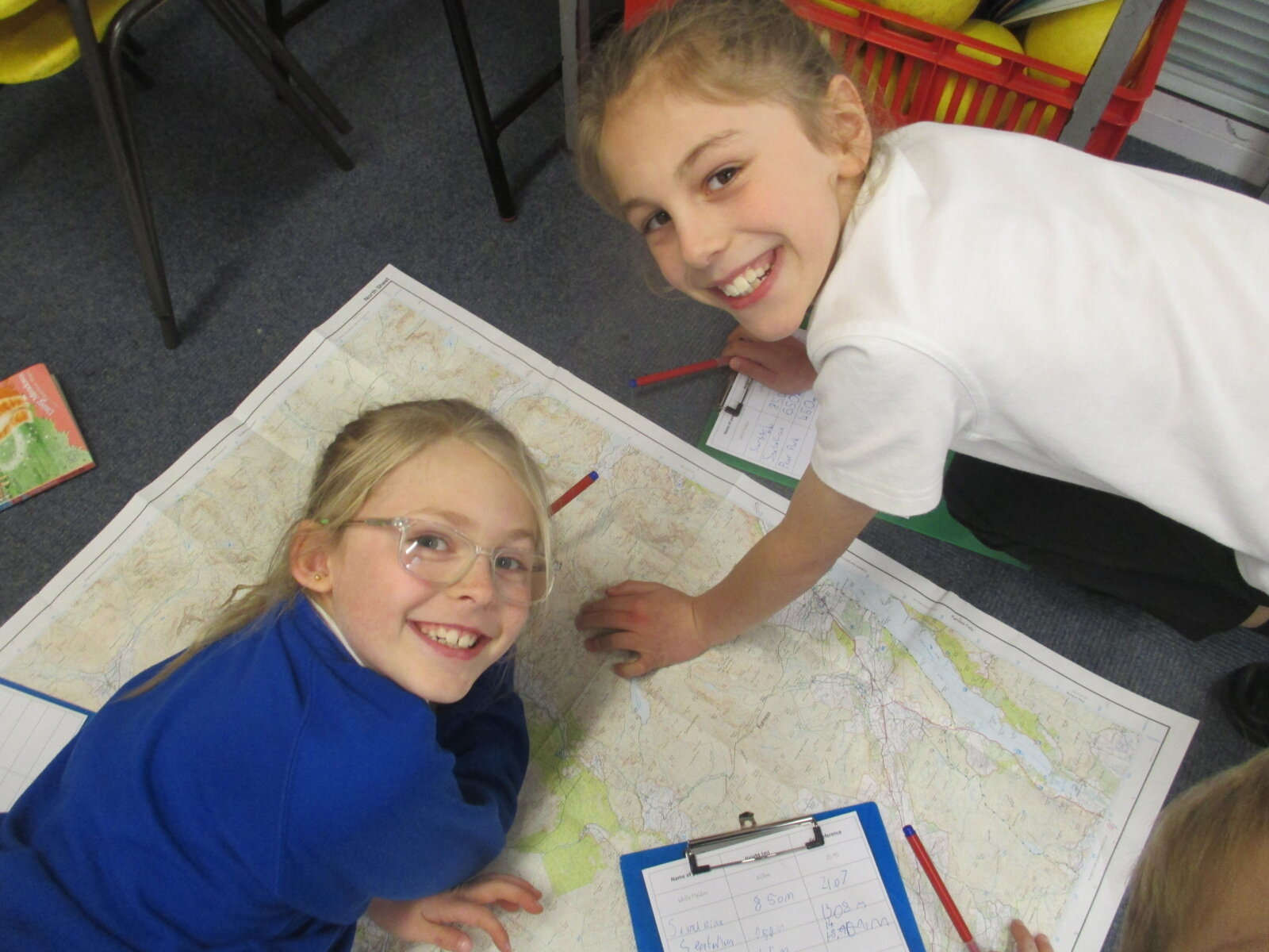
A Masterclass in Map Reading
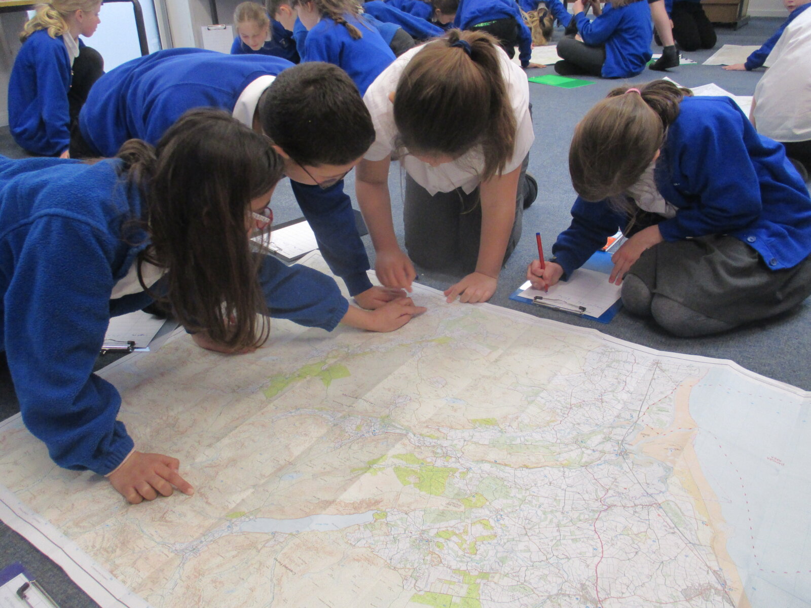
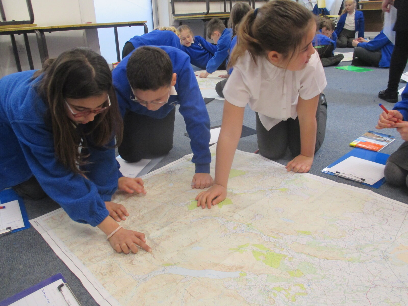
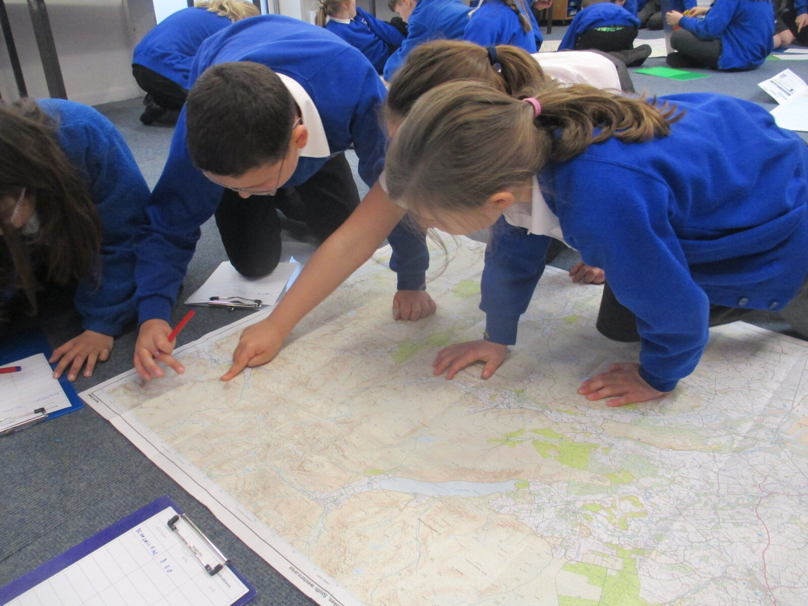
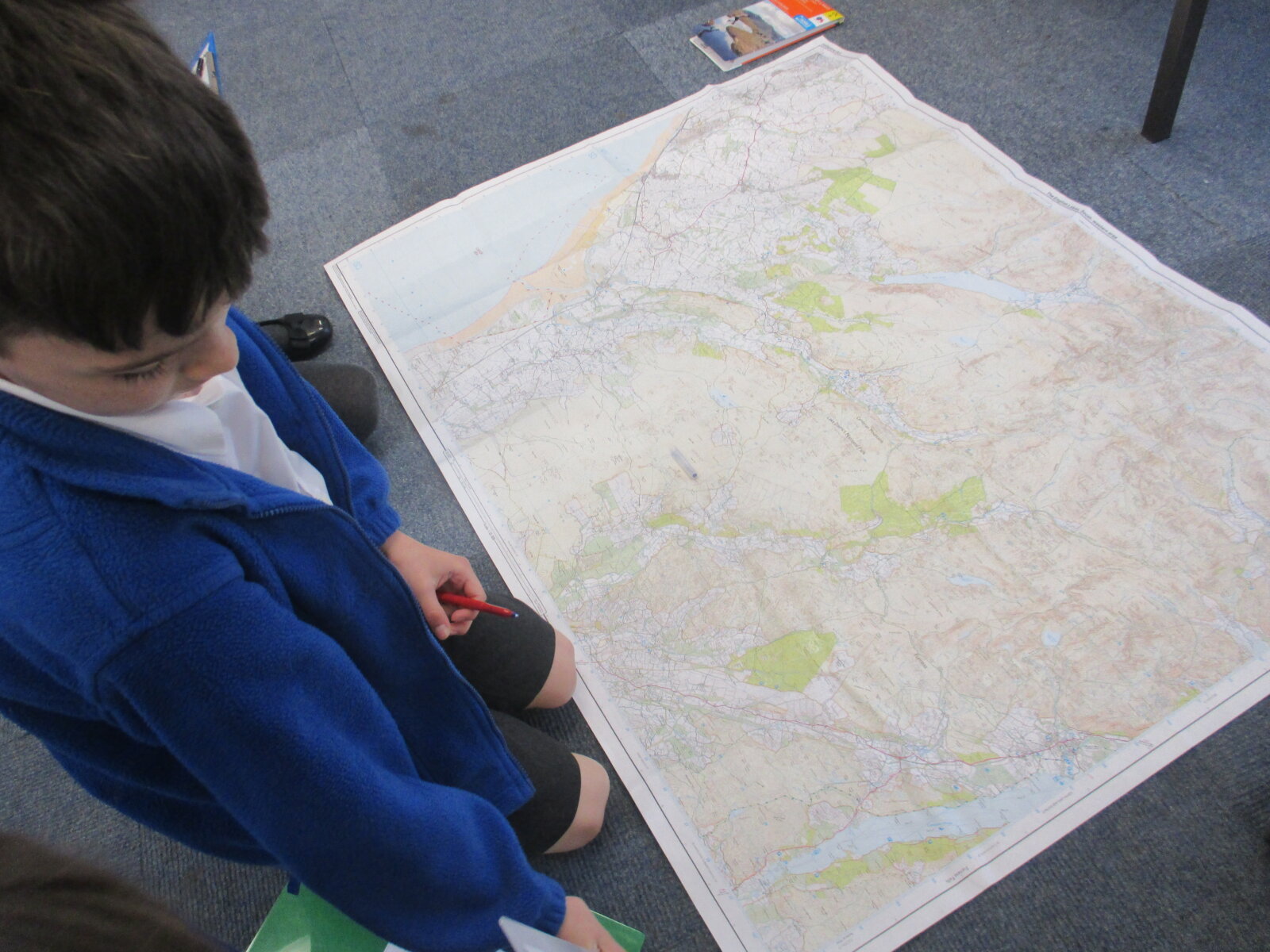
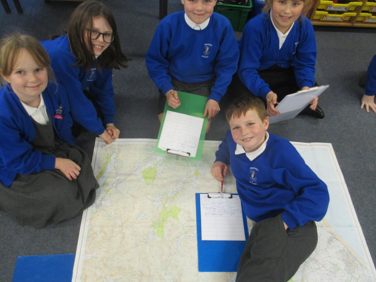
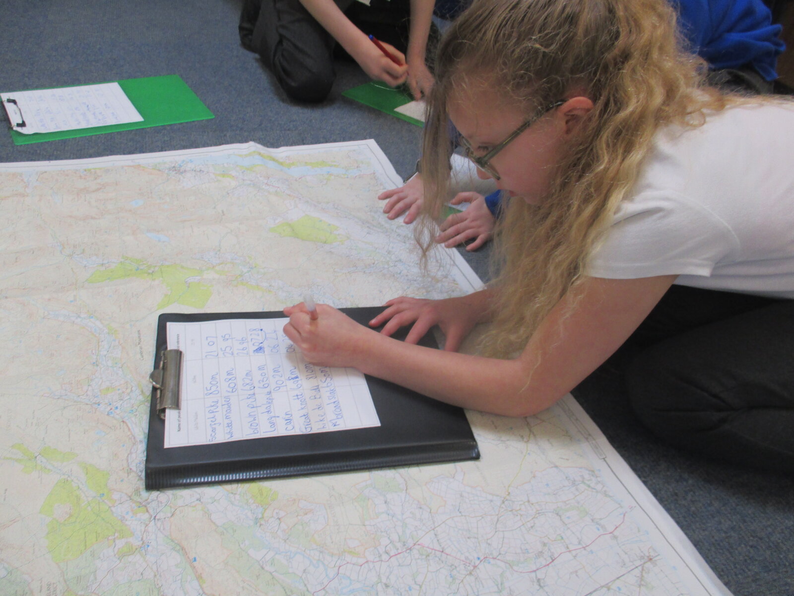
This afternoon, children learnt all about topography, contour lines and grid references. We began by listening to the wise words of Steve Backshall who taught us how to read grid references in order to find locations on a map accurately and my-oh-my we needed it after looking at the size of the maps we would be using! We then learnt that contour lines are dotted lines designed to show you the height of a hill or a mountain above sea level. This helps when trekking or exploring in tricky terrain as it allows you to understand how high places are and helps to visualise what the terrain would look like.
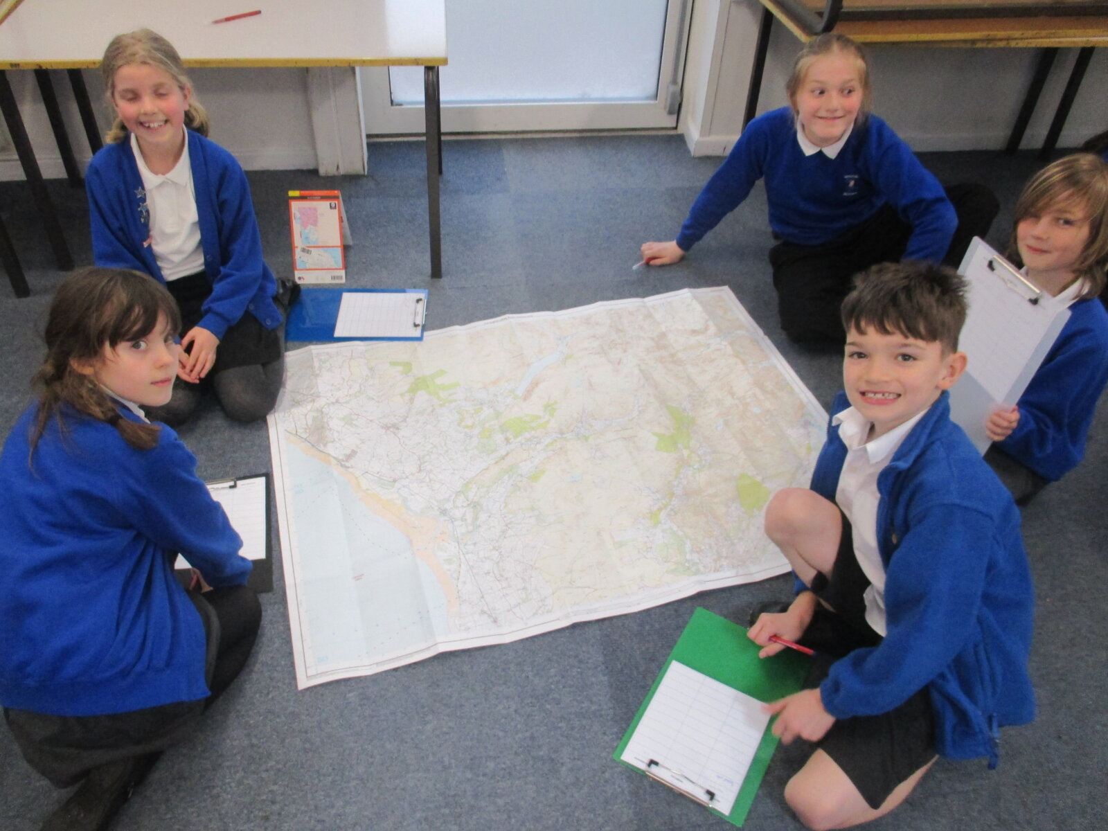
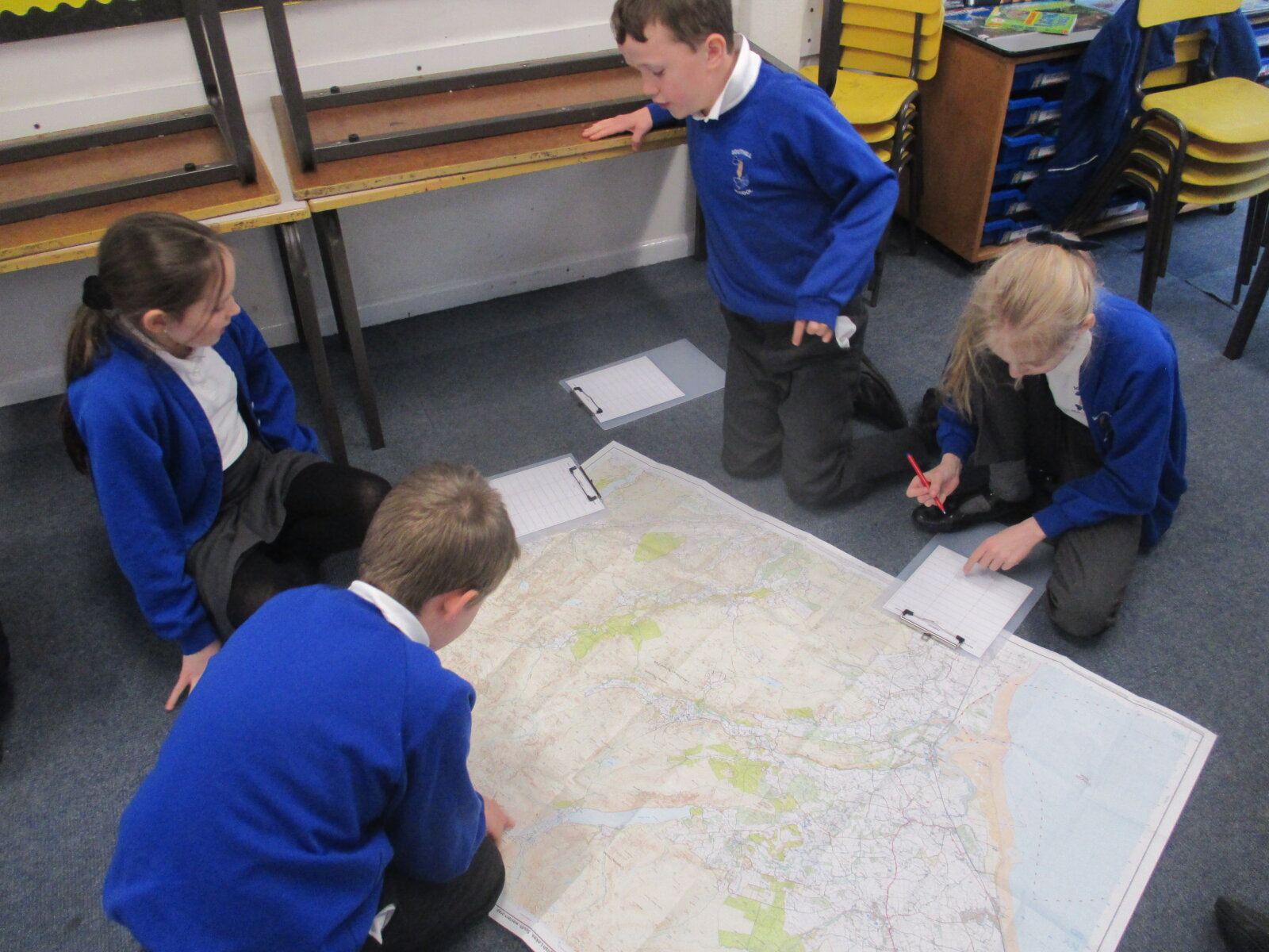
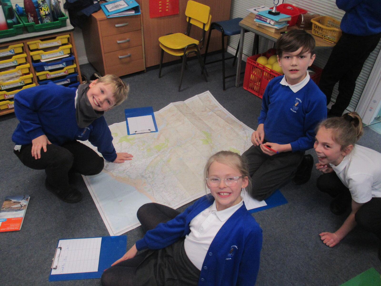
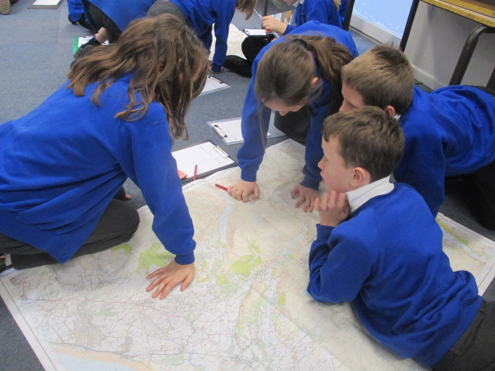
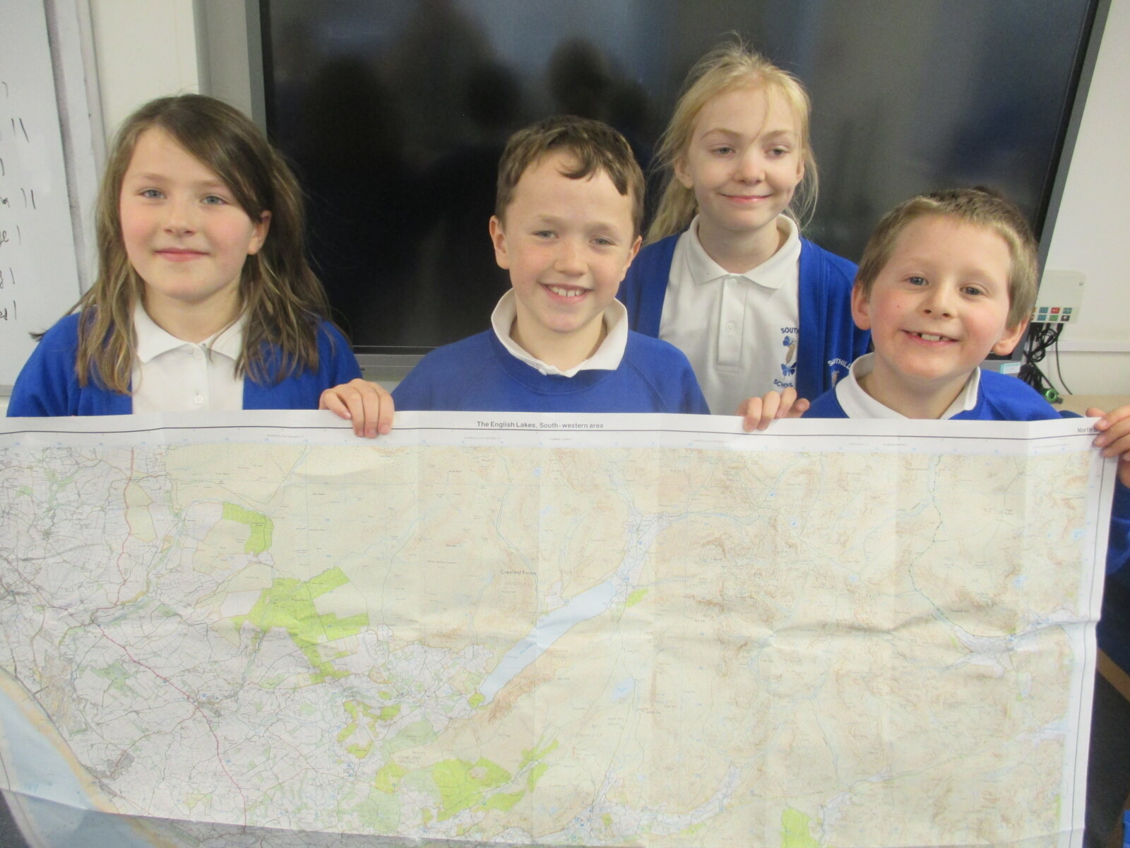
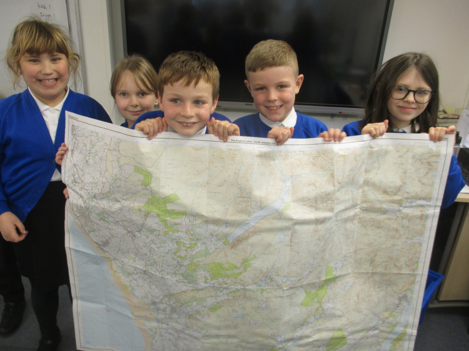
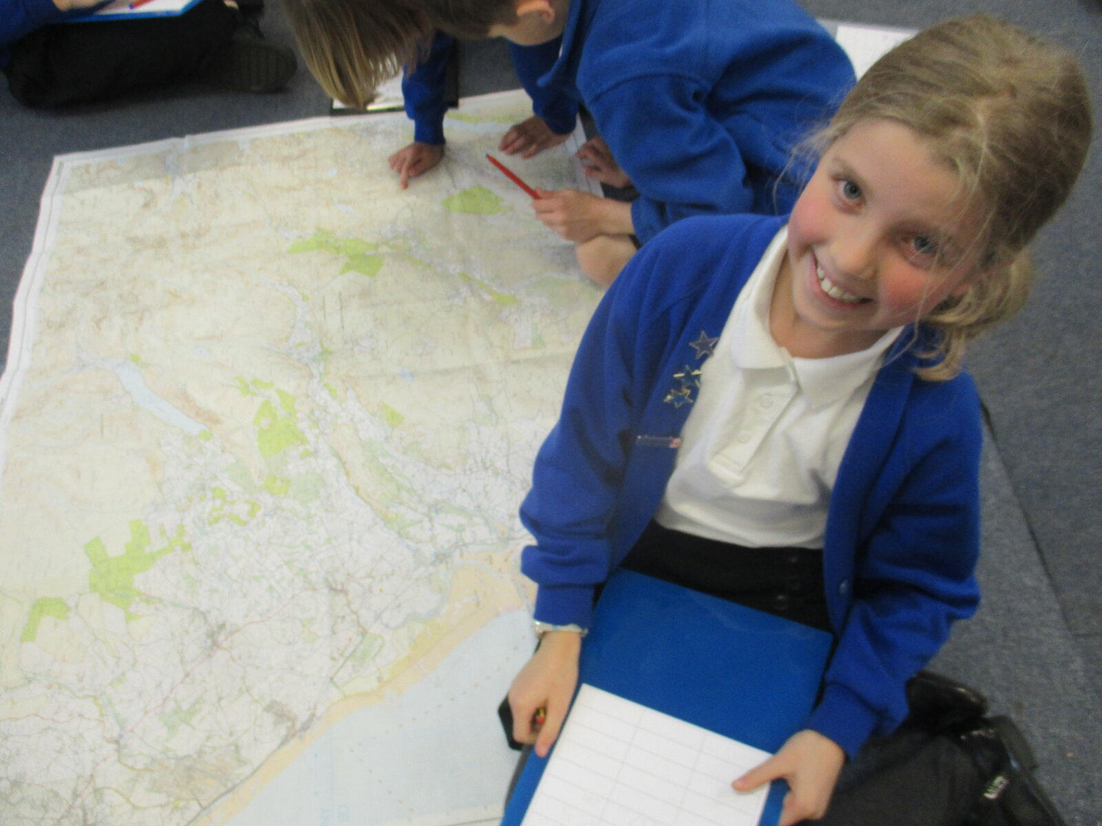
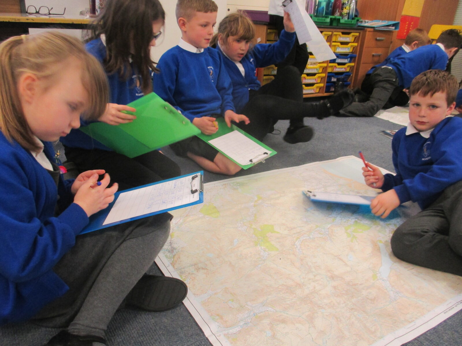
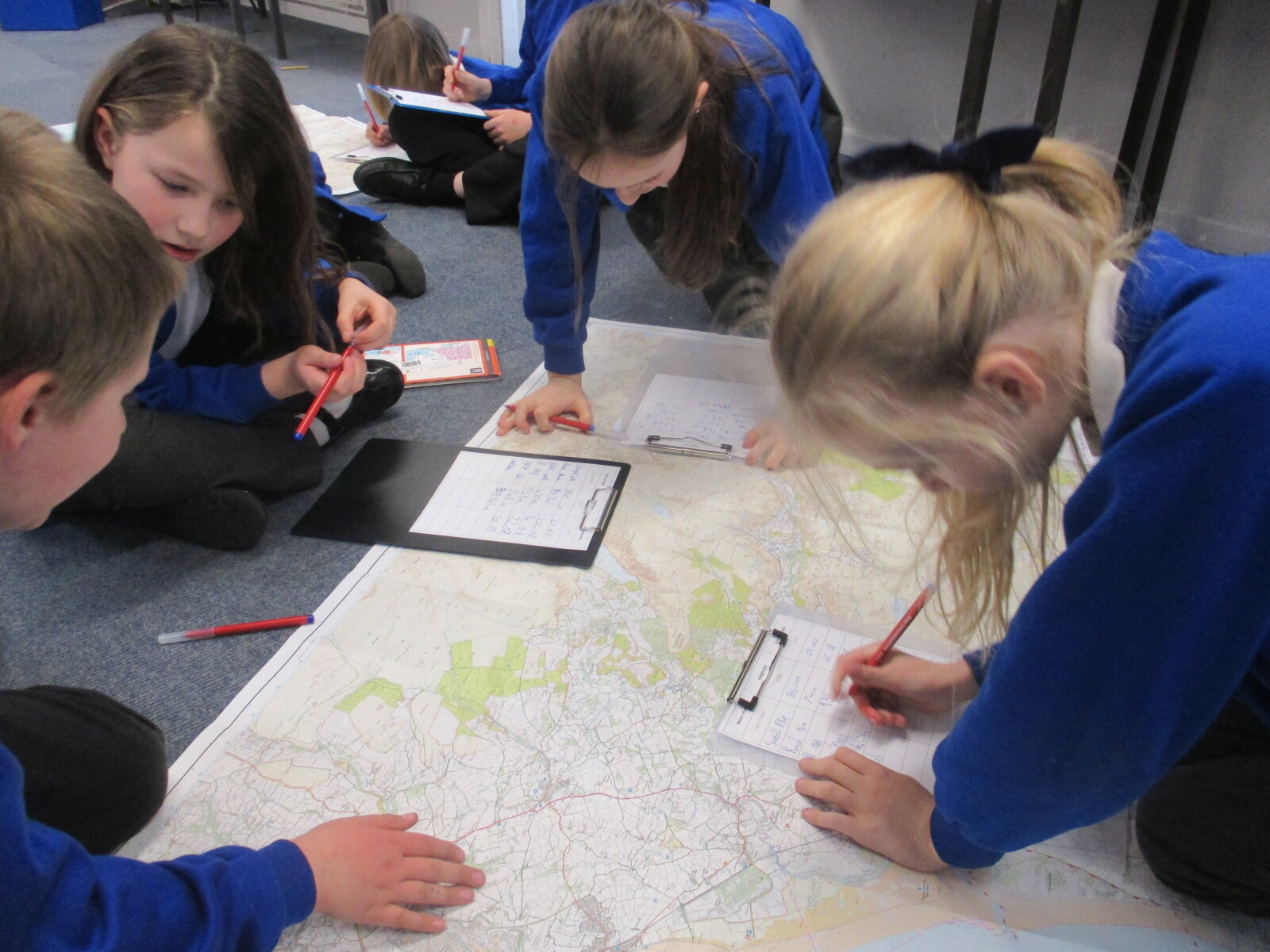
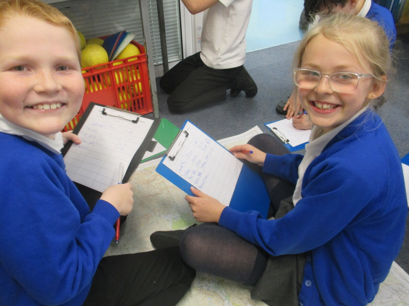
The children were split into groups and were asked to find the locations mountains and hills by using grid references. Then, looking at the contour lines, they needed to note down how tall the mountain/hill was.
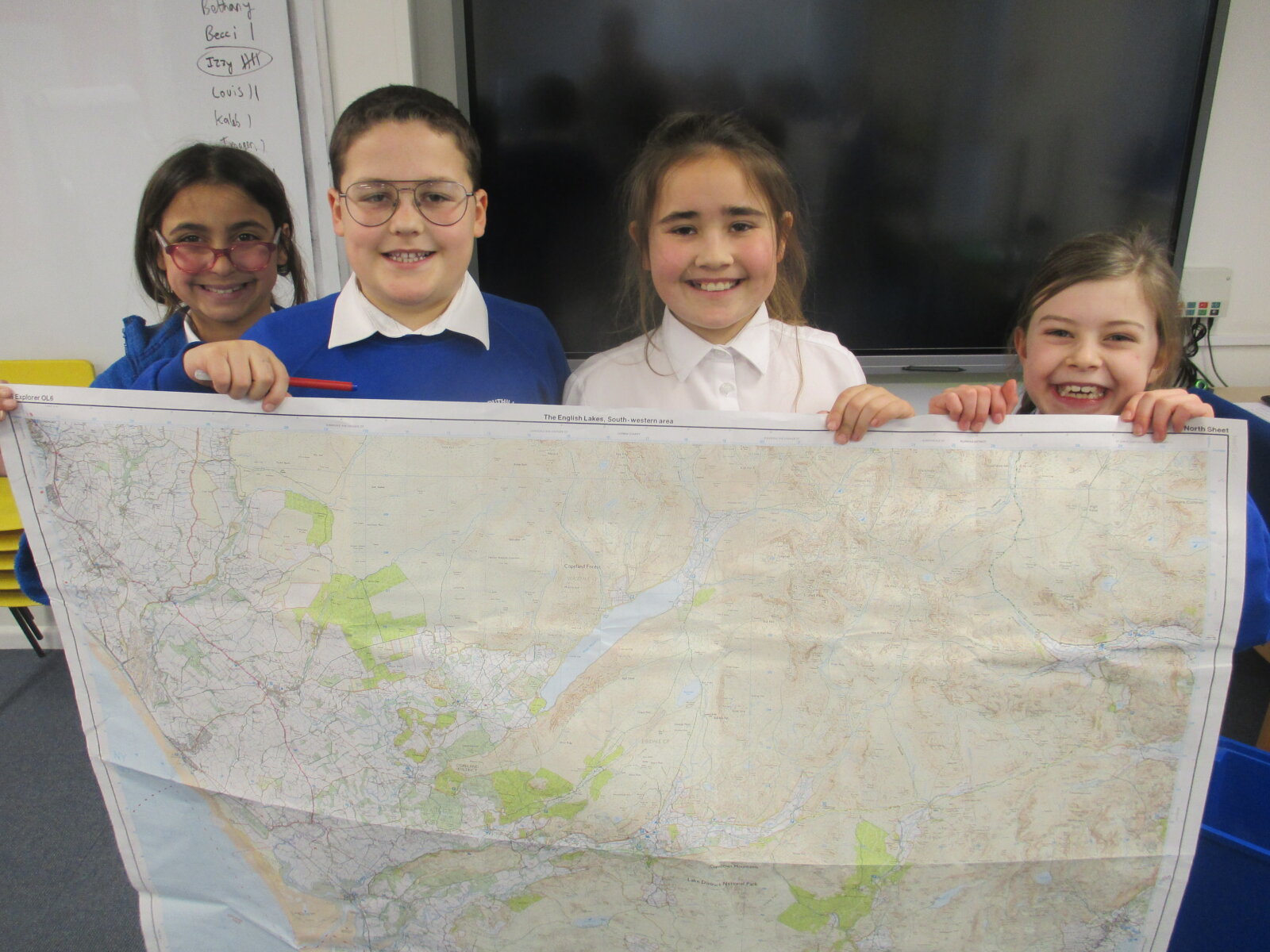
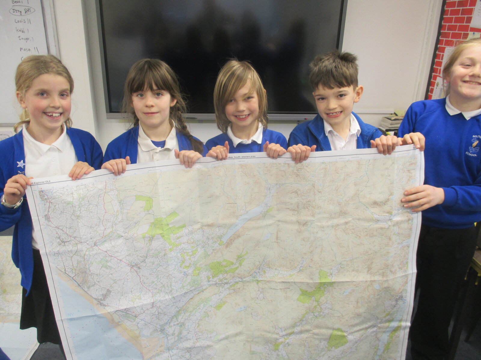
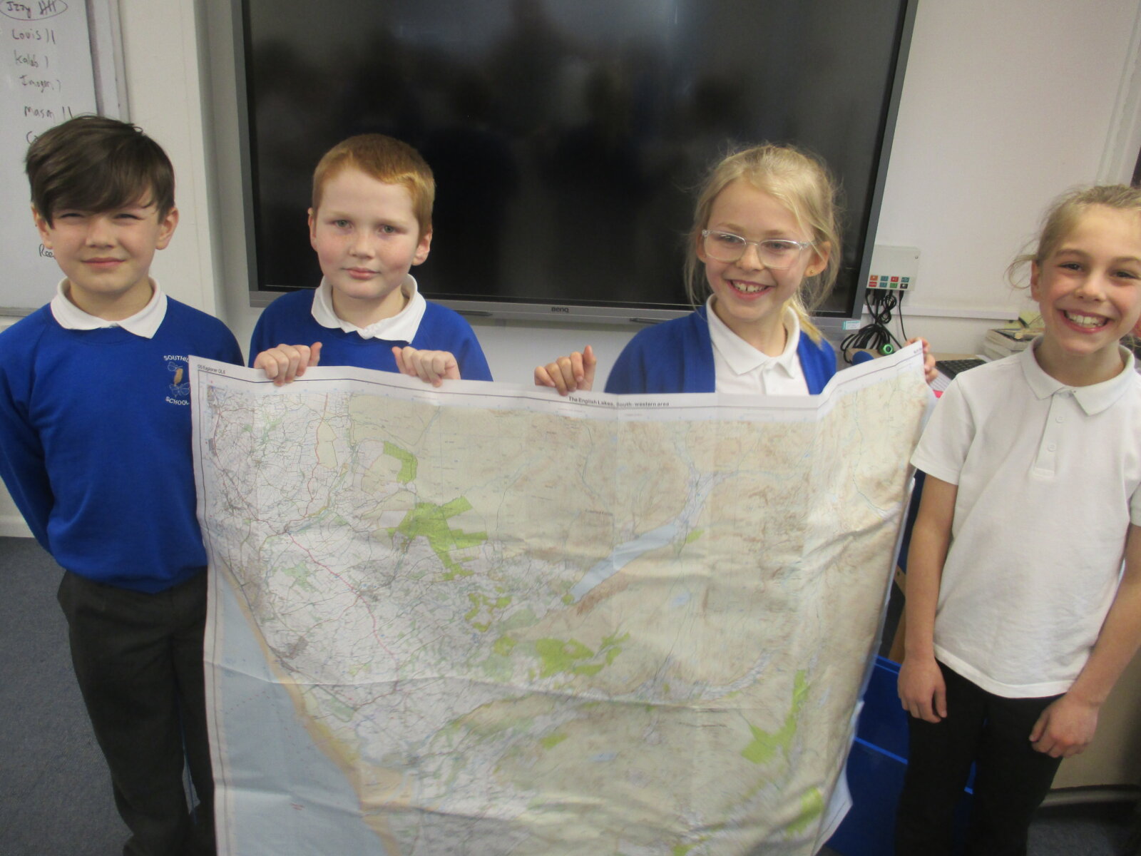
A fun afternoon marveling at the wonders of maps! I must say, they worked reciprocally and, despite the size of the maps, navigated them confidently.
Mr. Prior