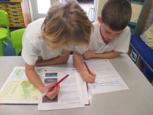
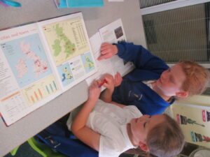
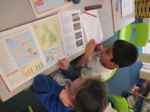
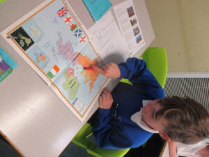
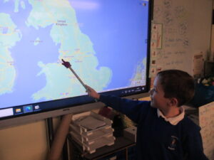
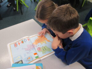
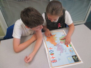
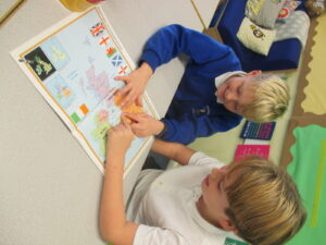
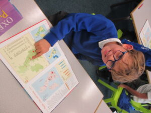
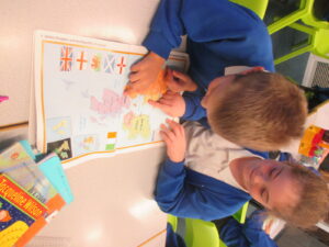
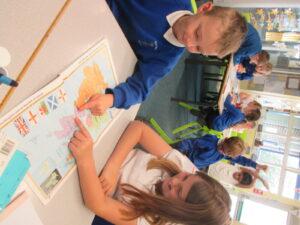
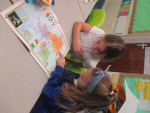
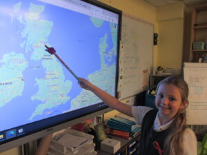
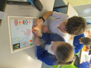
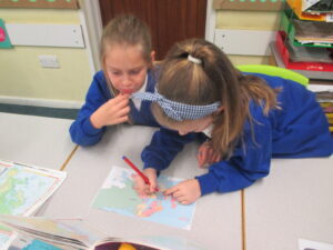
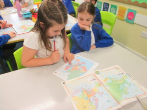
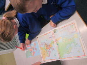
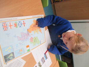
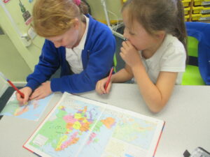
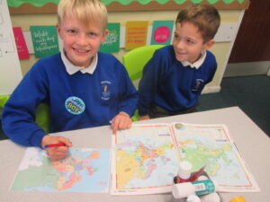
As part of our new Geography project ‘One Planet, Our World’ Year 3 have been busy learning how to locate European countries and cities using maps from atlases and Google Earth.
The children have even learnt how to identify human and physical features using Google Earth and wrote their own Fact File about the location of Stonehenge and Durdle Door. We have also learnt how to use four-figure grid references and how to write our own for the location of different places on a map. They have also used the eight points of a compass: north, north-east, east, south-east, south, south-west, west and north-west to talk more specifically about where cities are located within countries.
I have been so impressed with how well the children have worked together in pairs and it has been wonderful to see how much the children have enjoyed their Geography lessons over the last few weeks. Please enjoy the photos below of the geographers in action:
