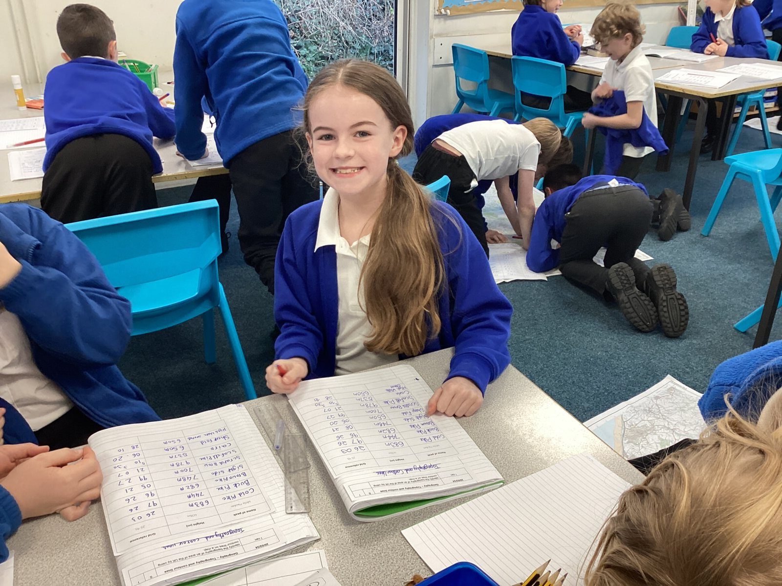
We are Marvellous at Map Reading
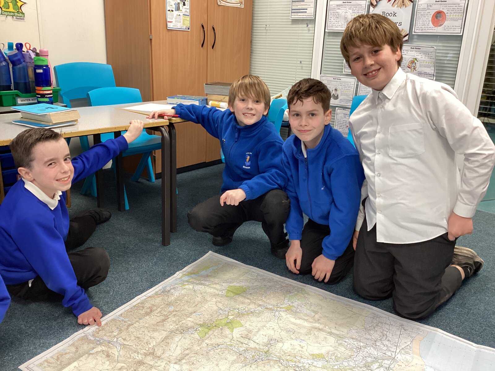
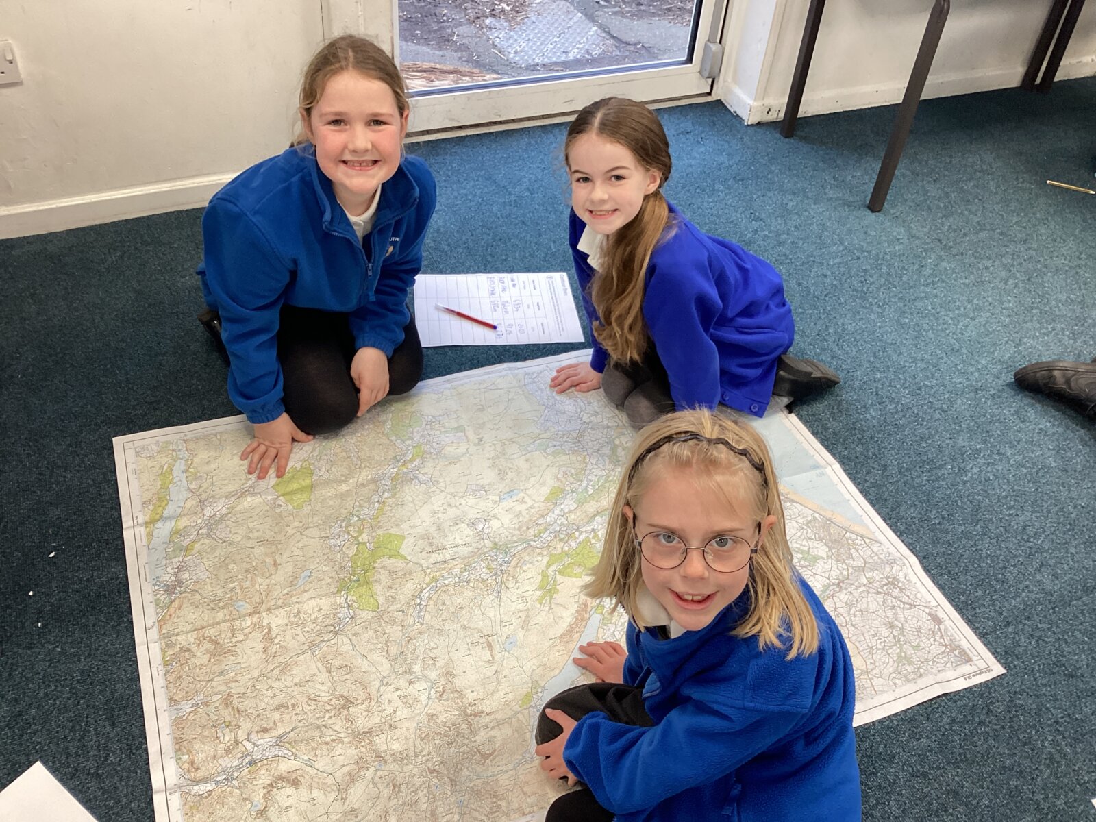
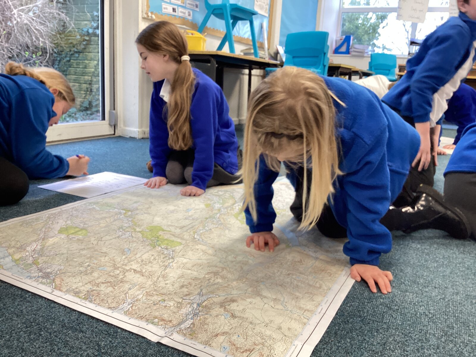
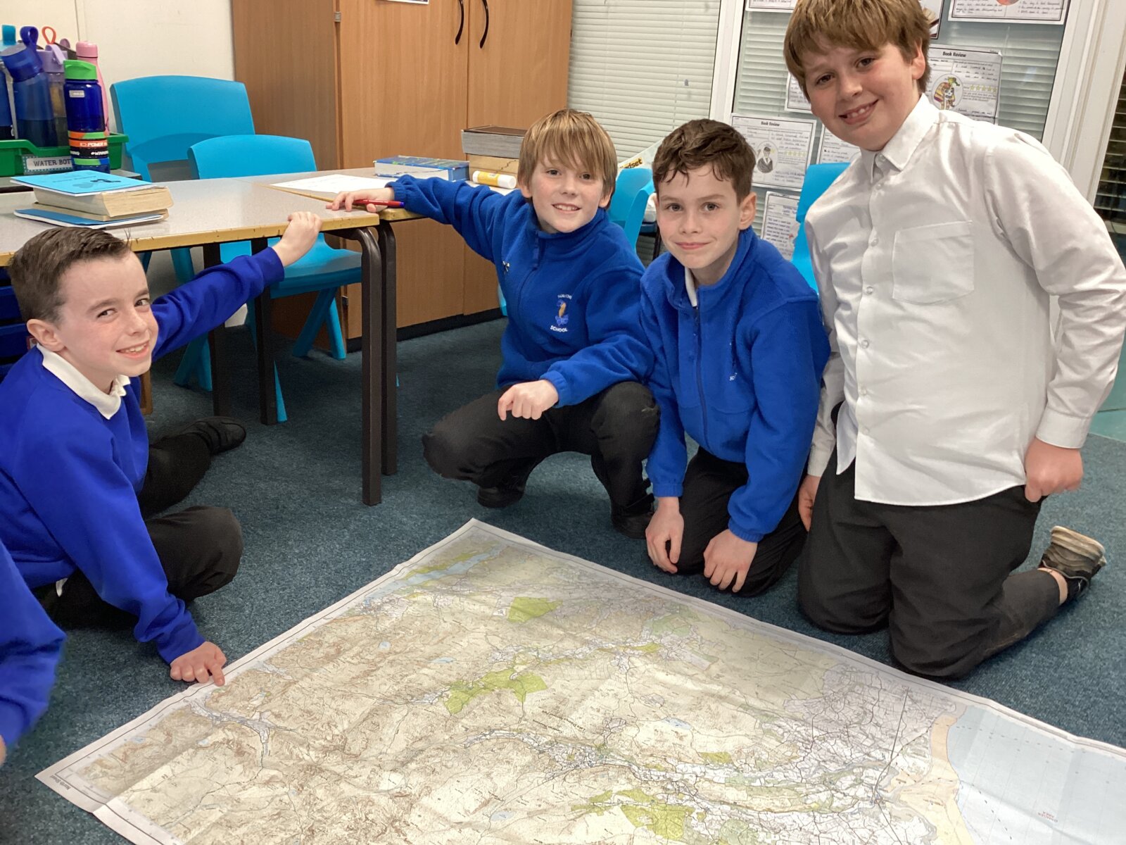
This afternoon, the children continued learning all about mountains. Specifically, Year 4 learnt all about the art of map reading and how grid references help us to find locations on a map quickly. We also learnt about contour lines and how they can help people visualize a 2-Dimensional map in 3D.
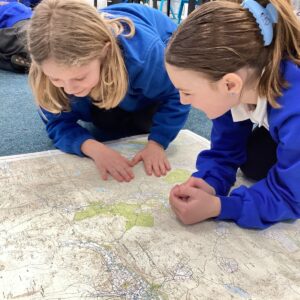
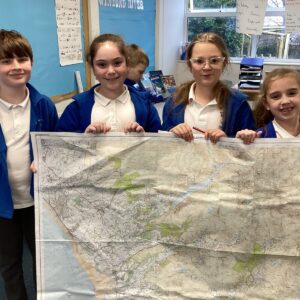
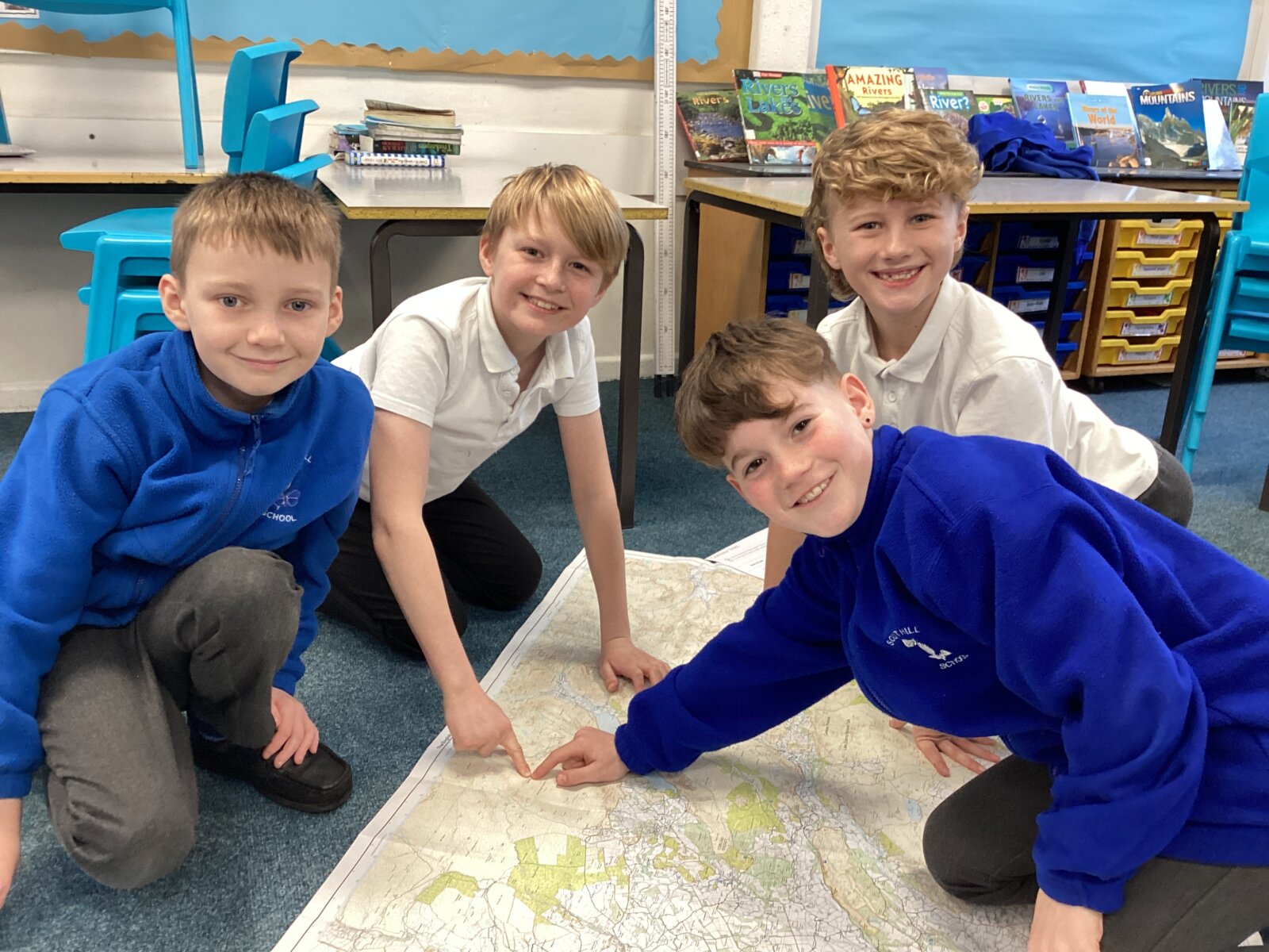
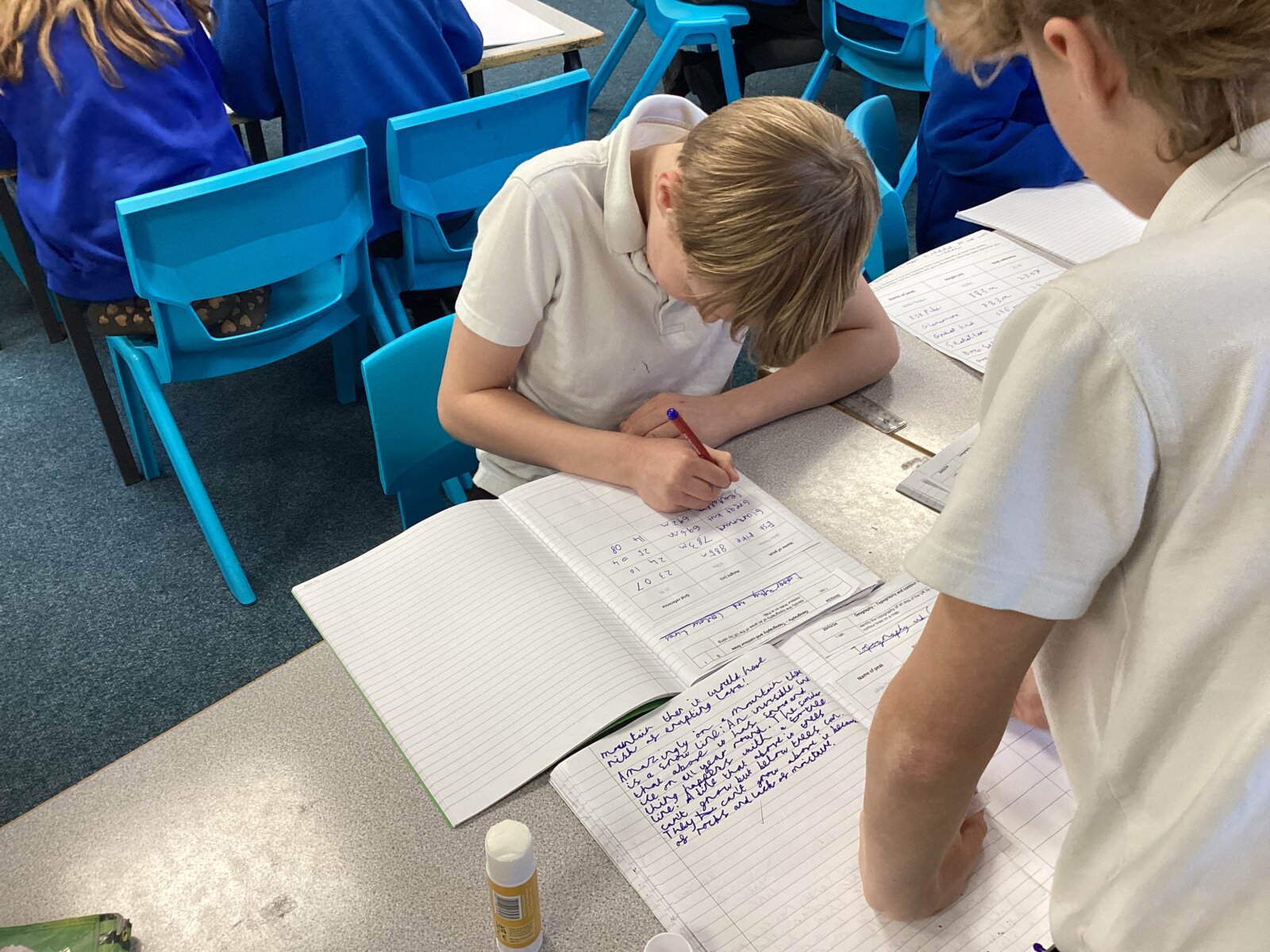
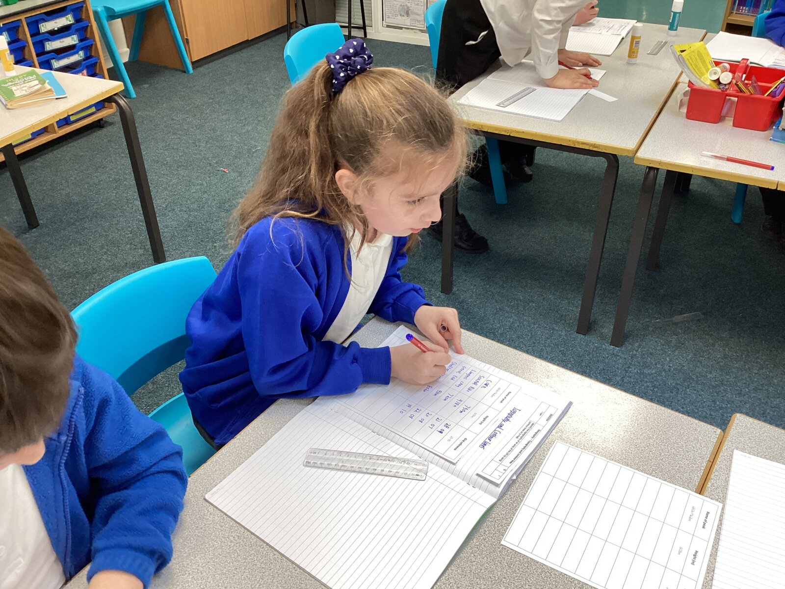
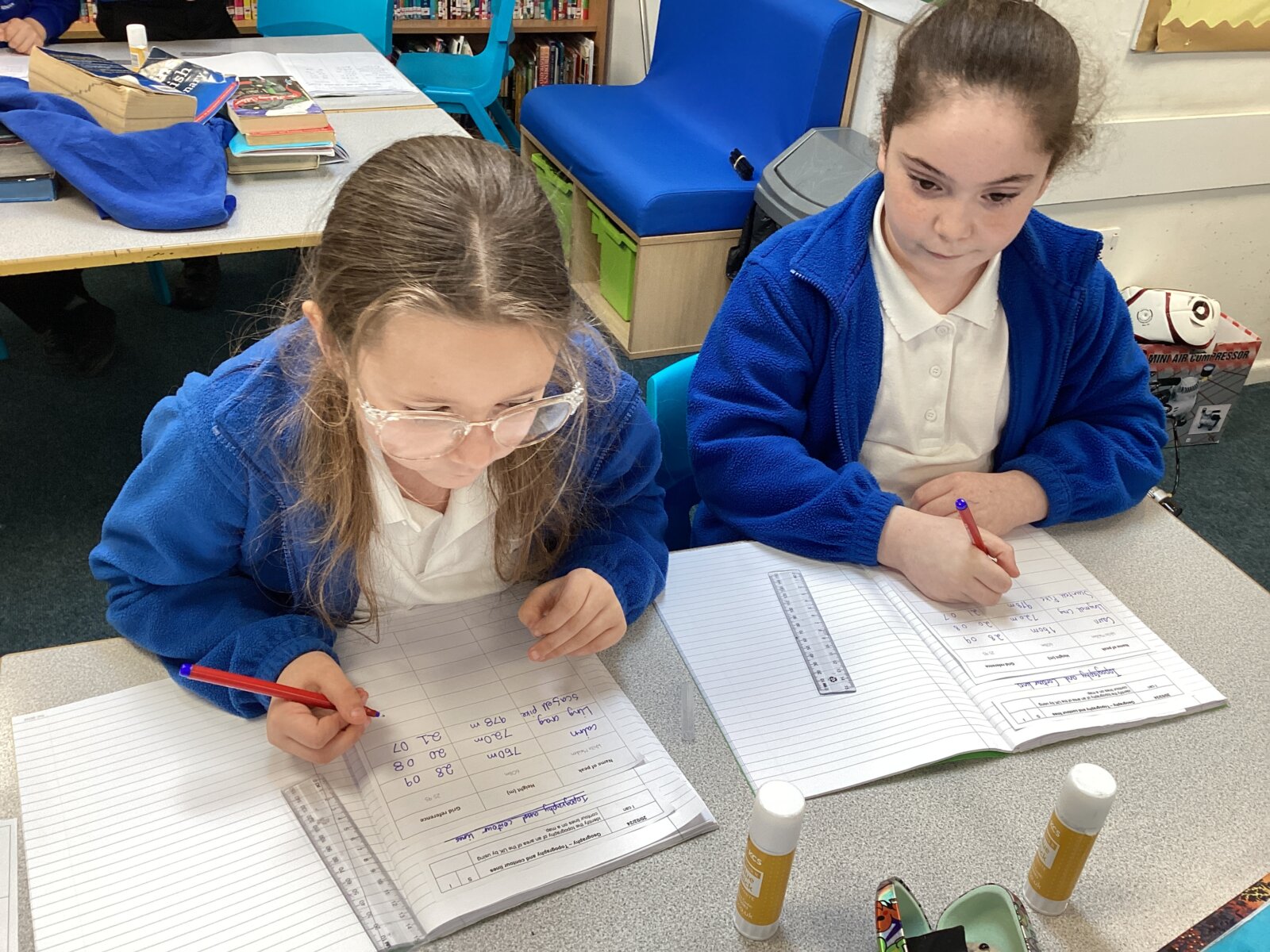
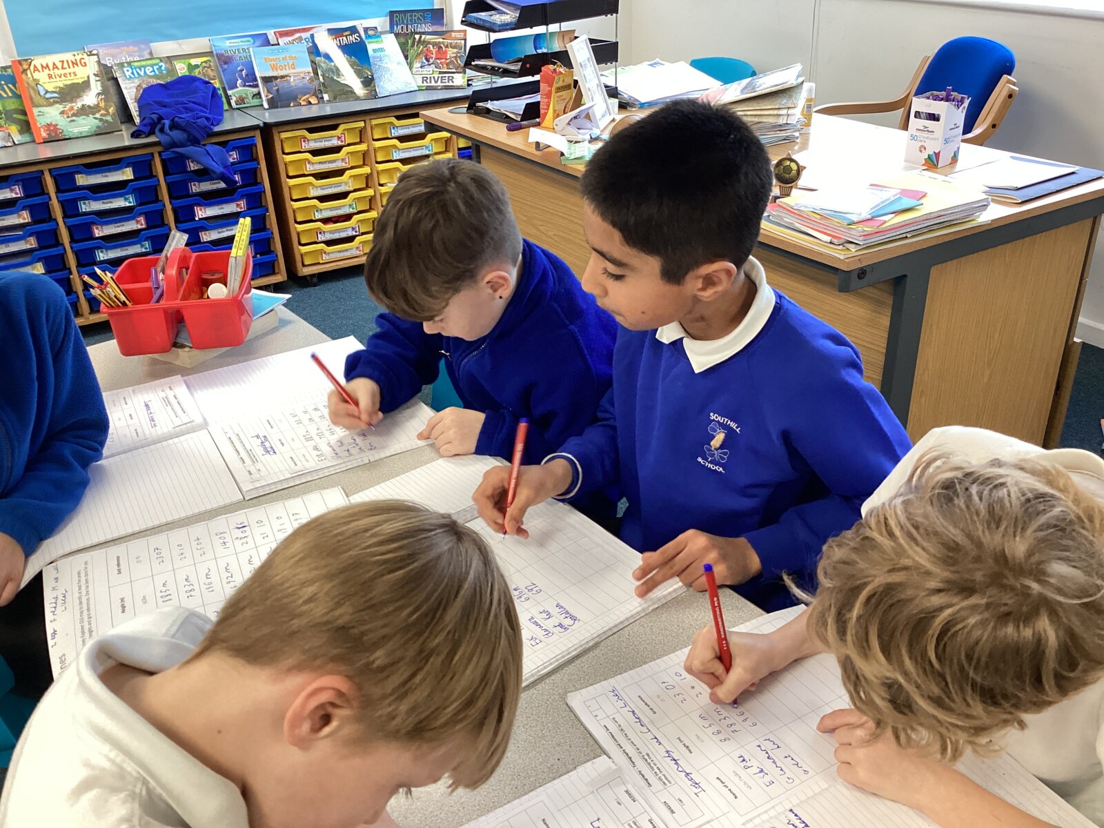
The children then received a huge map of the Lake District and were tasked with locating the summit of various mountains and had to the plot the grid references for each of these. Children were also required to note down the height of each mountain using the numbers give on the contour lines.
It was really impressive seeing the children working so reciprocally together, tracing their fingers across the map, plotting the grid references and working effectively as a team. The children then noted these down in their geography books to finish the lesson.
Well done Year 4 you mighty map readers!
Mr. Prior
